Branson
Fox

I'm Branson, an undergraduate studying sociology at Saint Louis University. I'm currently seeking roles in which I can harness my skillset as a software developer. I've built a wide variety of tools for several applications, many in support of my academic research. My research includes investigating health disparities, advancing the state of geospatial science, and better understanding cities through the data they produce. I avidly support open source software and open data.

My technical background is heavily involved with data science. I've built and maintain relational databases, public REST APIs, automated web crawlers and web scrapers. I consider virtually no data to be too large or too difficult to work with. Supporting this mantra is a calculated use of cloud infrastructure and microservice architecture. Despite this focus, I also have experience as a web developer in vanilla JS. I enjoy spending free time designing beautiful visualizations (especially maps!) and increasing visual accessibility.

My research focus is substantively in sociology and public health. I've worked with a variety of cool data from millions of service requests, to voter files and housing records. I obtain much of my data from public sources in the belief that science should be open.

Data Science

  • Statistics
  • R Programming
  • Data Visualization
  • Research

    Experience with academic research, writing and peer review

    Geospatial Science

    Geospatial data processing and spatial statistics

    Portfolio Image
    Hide

    Geocoder

    Building a Geocoder Using Open Data

    The first, and arguably most essential step to working with geographic data is geocoding. Geocoding is the process of turning geographic information into computer readable geographic units. In most cases, this is matching street addresses to lattitude/longitude coordinates.

    This project aims to create a composite geocoder for addresses in the City of St. Louis, using only publicly available data. There are many benefits to having a local geocoder, including savings, increased privacy and greater efficiency. A manuscript detailing the process will be made available for others to reproduce this process in other regions.

    Author: Christopher Prener, Ph.D.

    Author: Branson Fox

    Anticipated: Summer 2019

    Portfolio Image
    Hide

    Civic Problems

    Non-Emergency Service Requests

    More than ever before, cities are collecting data about problems in neighborhoods. From too much trash in the dumpster, to potholes in the road, these data may be an abundant source of knowledge in future work.

    This current project aims to prove the viability of these data in observing social phenomena by comparing voter turnout to non-emergency service requests in Saint Louis and Boston.

    Author: Christopher Prener, Ph.D.

    Author: Branson Fox

    Anticipated: Fall 2019

    Portfolio Image
    Hide

    Foreclosure

    Using Big Data to Answer Questions about Home Values

    There exist many disparities in housing. Far fewer members of minority race own their homes, and for those who do, they are often denied subsidies and loans or given subprime rates. Following the 2008 collapse of the markets, members of minority race have struggled to regain ownership at the same rate as whites.

    One potential explanation lies in the market response to foreclosure. Homes in areas with foreclosed properties may decrease in value, increasing the likelihood that they are also foreclosed on. This project is a novel analysis of home foreclosure data and housing values in the City of Saint Louis.

    Author: Branson Fox

    Chair: Christopher Prener, Ph.D.

    Anticipated: Spring 2020

    Portfolio Image
    Hide

    Health

    Social Determinants of Health

    Where you live is a strong indicator of how long you will live. The social environment predicts many of the health consequences someone will face. Addressing the social determinants of health may be able to drastically reduce the burden of certain populations on health care institutions, while simultaneously improving health in underserved communities.

    I'm currently working with colleagues at several universities and medical institutions to develop metrics to evaluate community health.

    Author: Branson Fox

    Anticipated: Spring 2020

    Portfolio Image
    Hide

    Cartography

    Accessible and Interactive Data Visualization

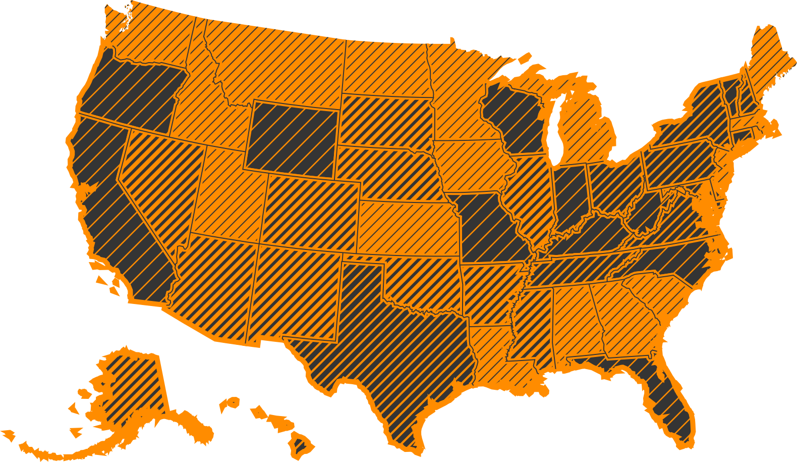
    Almost 5% of the population is color blind. This is problem for data visualization, especially maps. Furthermore, many documents are still printed in black and white. Choropleth maps could be much better.

    This is an ongoing project to develop more accessible maps by implementing textures as fill. This has already been done in JavaScript, but I'd like to make it accessible to more cartographers.

    Web represents the largest growing medium of presentation, so I'm also interested in building the best interactive map data visualizations.

    Creator: Branson Fox

    Anticipated: Winter 2019

    Contact

    Top